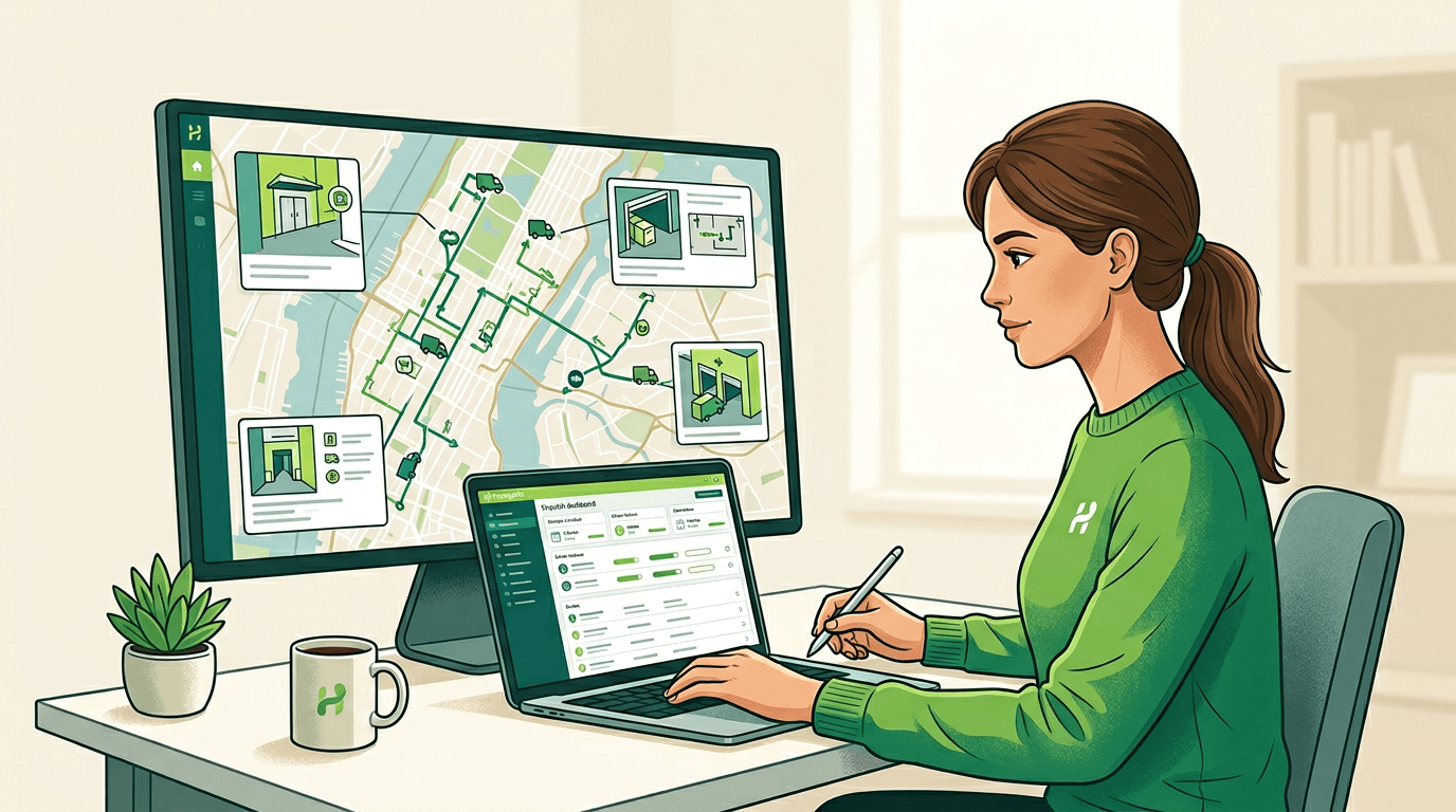
Get in touch hello@happypath.no

Planning & dispatch

Your optimizer is only as honest as its stop model

Street addresses compress the world down to a point. Real stops have depth — where to park, how far to walk, whether the entrance is obvious, and how long access actually takes. Strip those dimensions out and plans look optimal while performing badly.

Route planning and complex arrivals

The planning gap in one sentence

Drive time isn’t stop time. Happypath adds the missing dimensions — approach point, path, access friction — so your engine can score stops the way drivers experience them.

Data in

Feed APIs with structured arrival metadata alongside the address.

Models sharpen

Separate easy curbside handovers from high-friction interior approaches.

Plan matches field

Fewer replans and manual overrides after drivers push back on impossible sequences.

Planner outcomes

  • More honest stop durations — based on approach points and walking complexity, not just drive time.
  • Routes that hold up when the map pin hides courtyards, campuses, and pedestrian-only paths.
  • Happier drivers: fewer “impossible” sequences that looked clean in the planner.

What we stop pretending

  • Beautifully optimized routes that fall apart the moment every third stop is an apartment maze.
  • Dispatch firefighting because the ETA didn’t count the ten-minute walk from the legal parking spot.
  • Carrying the blame for a field reality nobody put into the model.
Contact us

Bring arrival reality into route planning

Share the stack — routing vendor, in-house solver, or hybrid — and we’ll walk through where Happypath data plugs into scoring and ETAs.